Boundary surveys
A boundary survey may be appropriate when the location of a property line matters to a fence, addition, purchase, sale, encroachment concern or disagreement. The work required depends on the parcel and the evidence available.
 Lanthier & GilmoreSurveying Ltd. · Ontario Land Surveyors
Request a quote
Lanthier & GilmoreSurveying Ltd. · Ontario Land Surveyors
Request a quote
Land surveying services
The appropriate work depends on what must be established, submitted, designed, built or resolved. Final scope is determined from the property, available records and intended use.
01 · Property + title
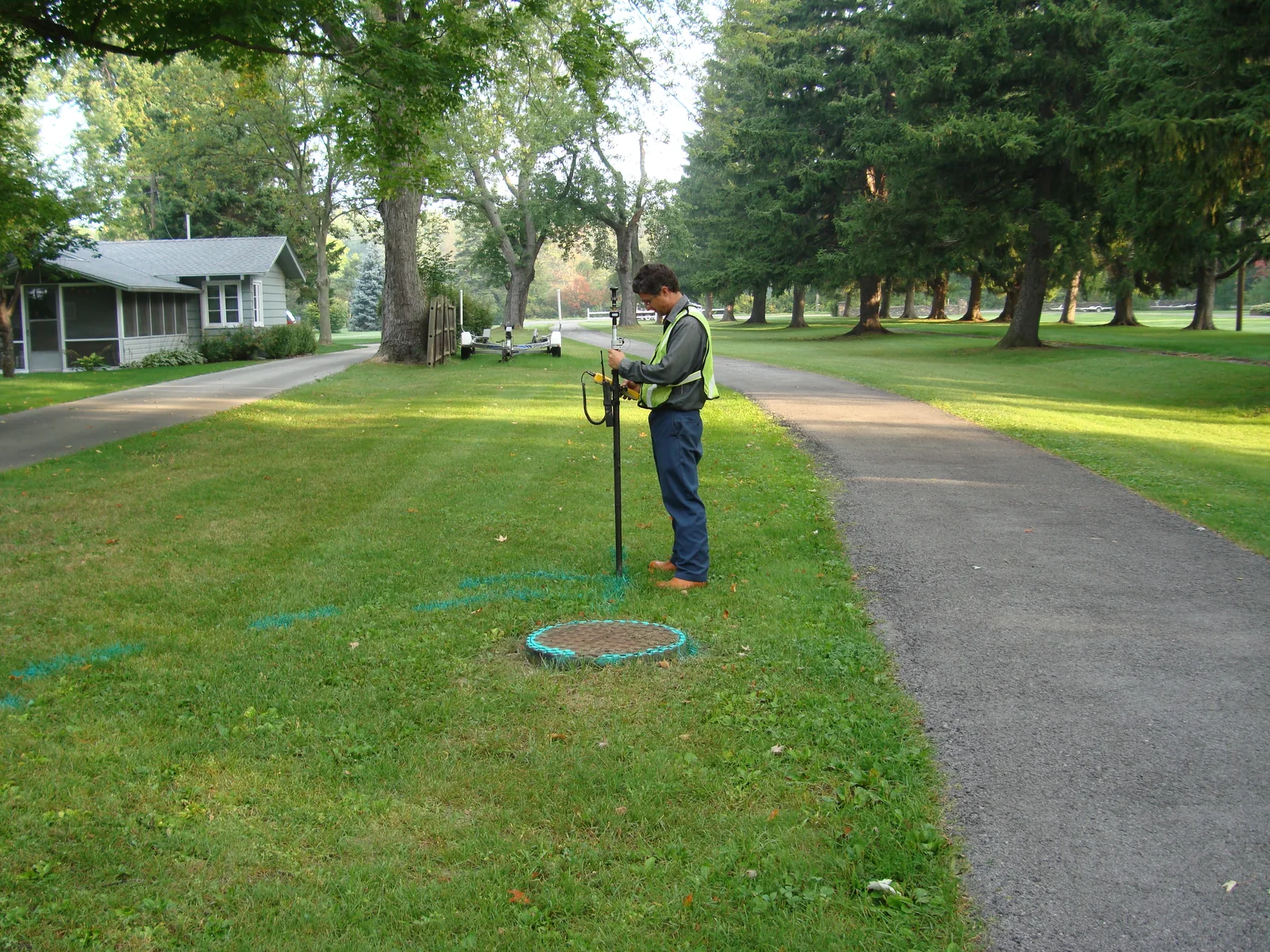
These services bring documentary research and field evidence together to address the location, description or occupation of property boundaries.
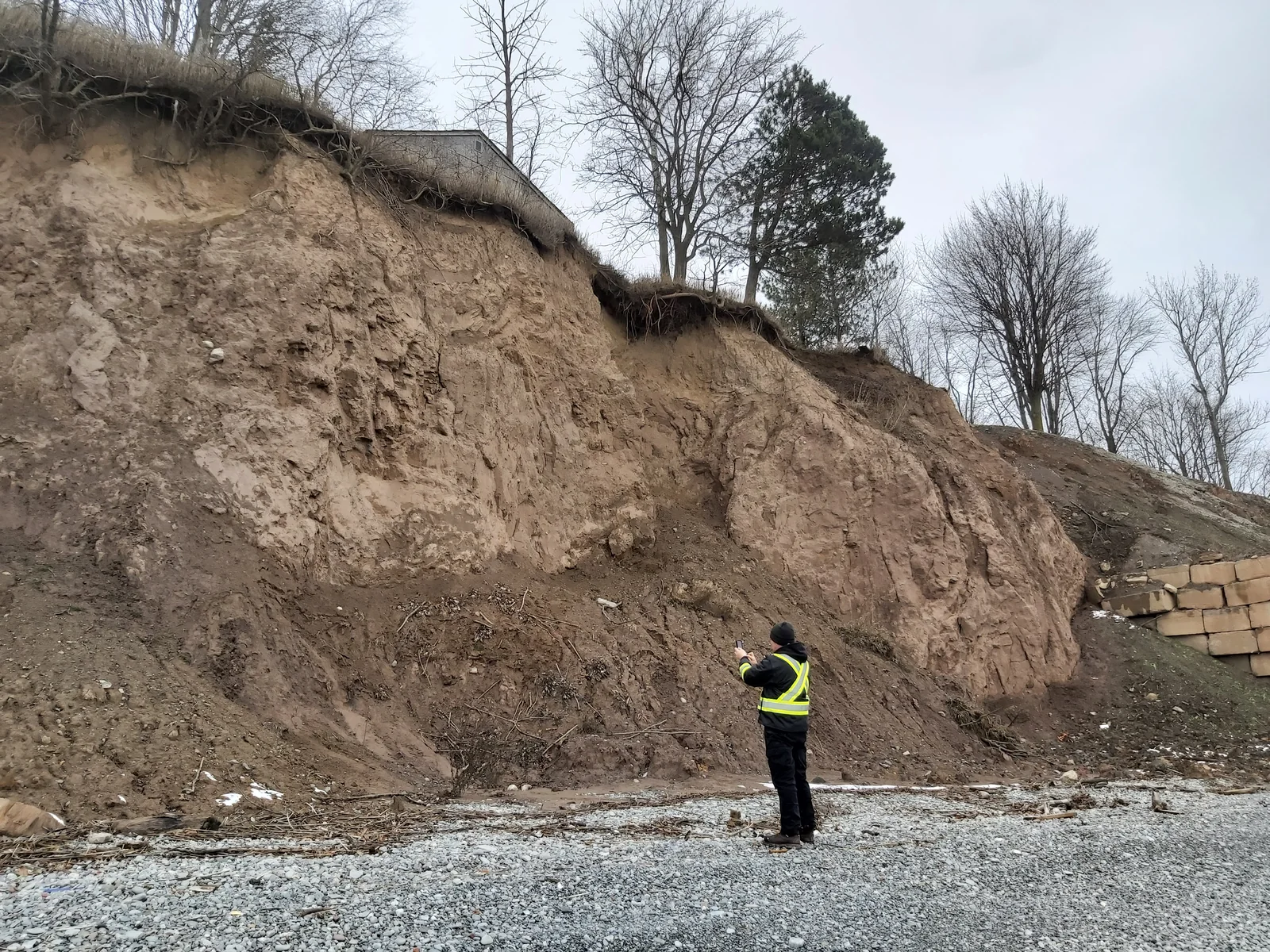
A boundary survey may be appropriate when the location of a property line matters to a fence, addition, purchase, sale, encroachment concern or disagreement. The work required depends on the parcel and the evidence available.
A reference plan depicts surveyed parts of land and may support a legal description, transfer, easement or other land-registration purpose. The legal or planning process involved should determine whether this deliverable is required.
An SRPR shows property boundaries together with buildings and other visible improvements relevant to the report. It can help property owners and professionals understand how existing improvements relate to the boundary.
Retracement involves researching and re-establishing an existing boundary from the applicable records and field evidence. It is not simply a matter of measuring from a fence or online mapping.
02 · Planning + development
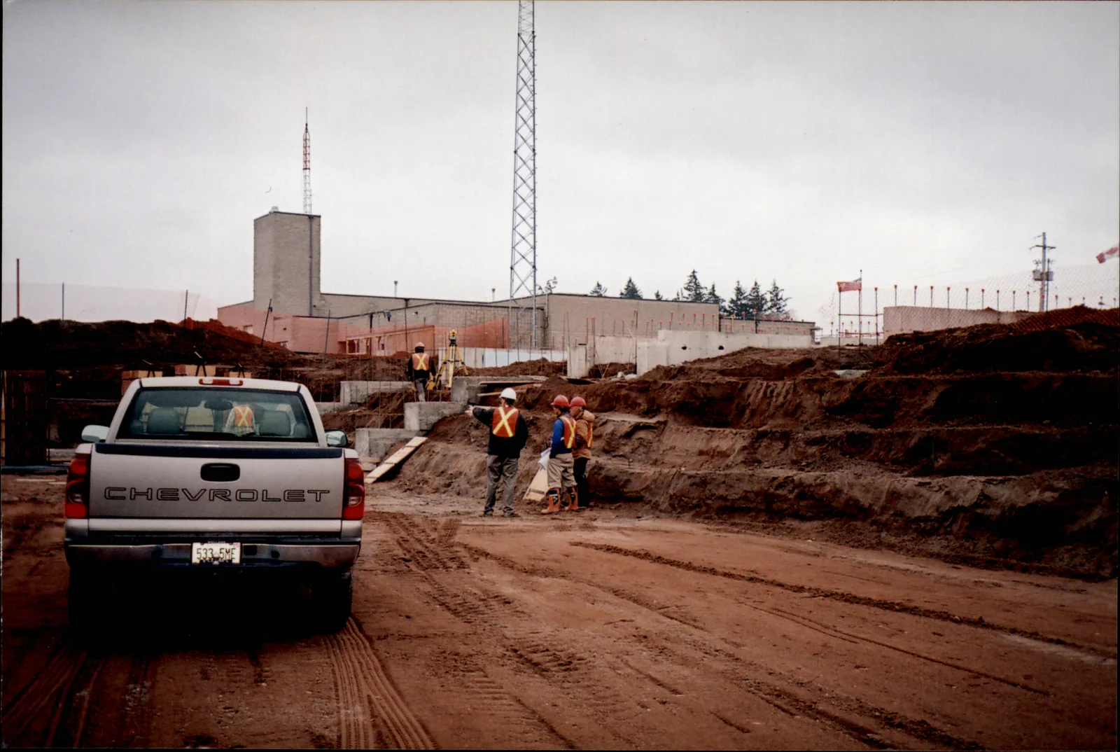
Development work often has interconnected surveying, planning, legal and municipal requirements. Early review helps identify the appropriate survey support.
Surveying supports the definition and documentation of lots, blocks, streets and other lands involved in a plan of subdivision.
A consent or severance application may require survey information to describe the proposed parcel, retained lands and related interests. Requirements vary with the property and municipality.
Survey work can support a project through existing-condition information, land division, approvals and the definition of property interests.
Design and approval teams may need reliable boundary, feature and elevation information as the basis for site planning and submissions.
03 · Design + construction
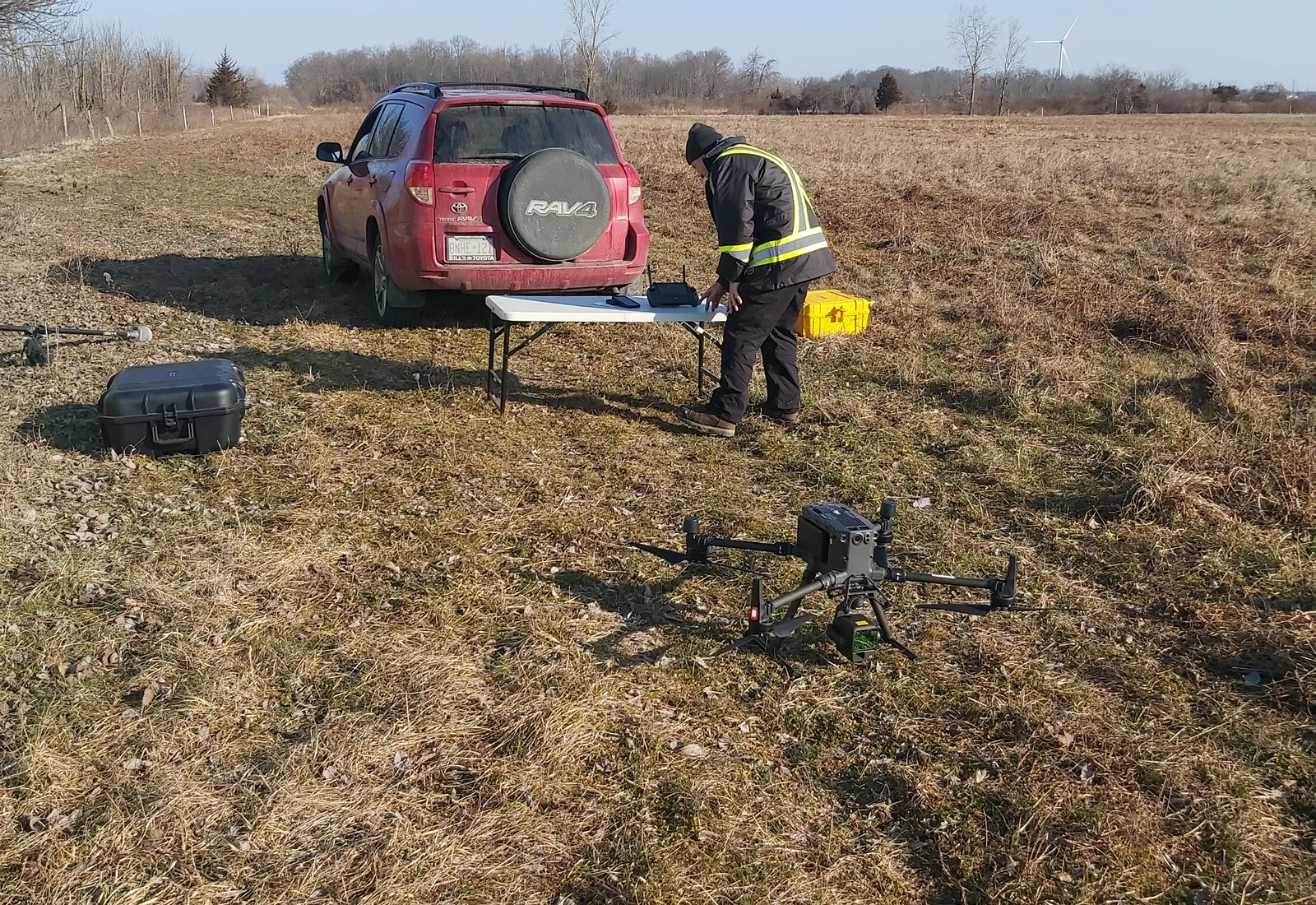
Designers, contractors and project teams need survey information suited to the work they are undertaking and the decisions they must make.
Topographic work records selected physical features and elevations for uses such as design, grading, drainage analysis, site planning or existing-condition documentation.
Construction survey work may include layout and measurement support based on the project drawings, control and required tolerances.
Aerial imagery can provide useful site context and visual documentation when it is appropriate to the property and project requirements.
Before you request a quote
Send the property address and explain the decision, concern or project prompting the request. If available, mention a deed, PIN, prior survey, site sketch or municipal correspondence.
Describe the situation—a fence, sale, permit, severance, design, construction project or boundary concern. The office can identify an appropriate starting point after reviewing the property and purpose.
Timing depends on the property, available records, required fieldwork and intended deliverable. Scope and records should be reviewed before scheduling expectations are confirmed.
Request a quote
Use the online intake form, email the office or call. You do not need to identify the professional deliverable before getting in touch.
Open the request form 905-835-5477 [email protected]