Independent positioning infrastructure
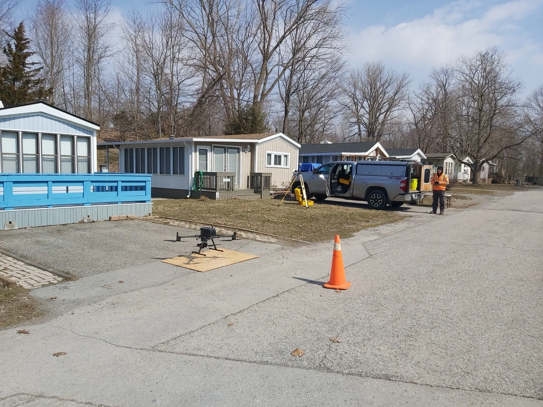
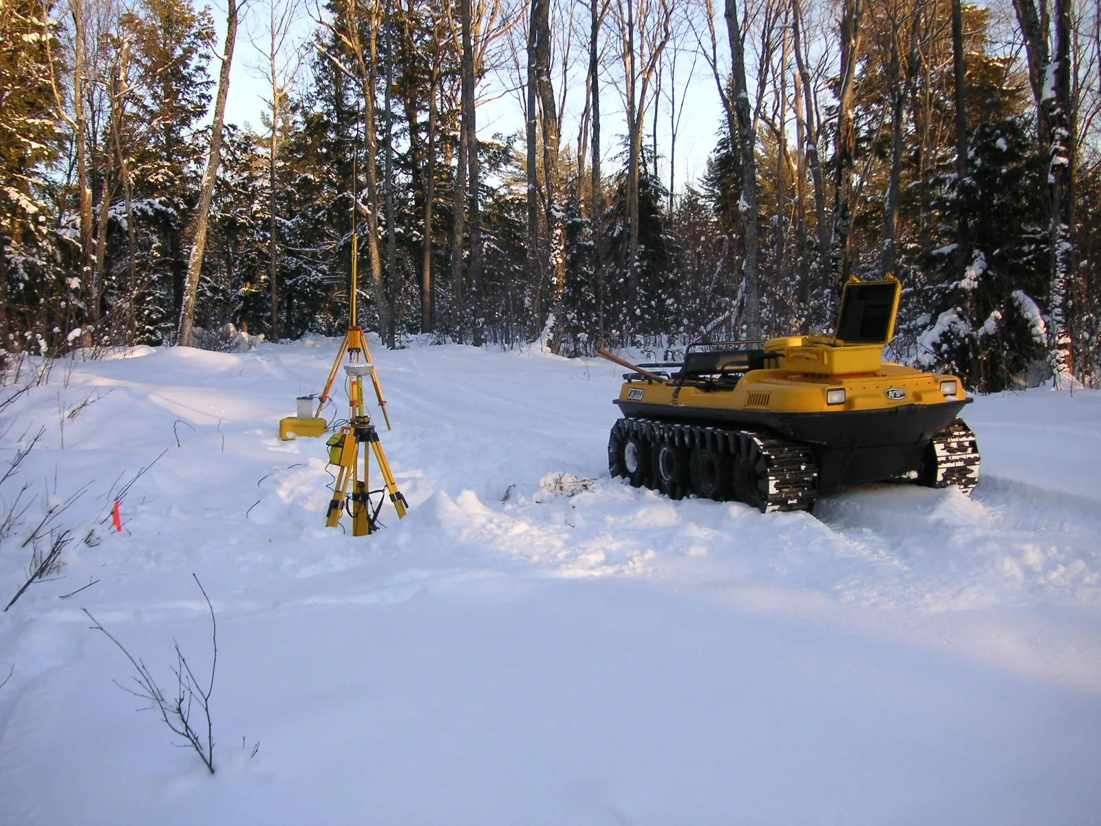
Our own VRS infrastructure supports GNSS field operations across our working area. Project control, site conditions and required tolerances still determine the appropriate observation and checking methods.
 Lanthier & GilmoreSurveying Ltd. · Ontario Land SurveyorsRequest a quote
 Field capture + geospatial processing
Lanthier & Gilmore maintains advanced field and processing systems for projects that require efficient coverage, dense existing-condition data or coordinated three-dimensional deliverables.
Practical scope guidance
Property records, site conditions, intended reliance and requested deliverables all affect the professional work involved.
Our own VRS infrastructure supports GNSS field operations across our working area. Project control, site conditions and required tolerances still determine the appropriate observation and checking methods.
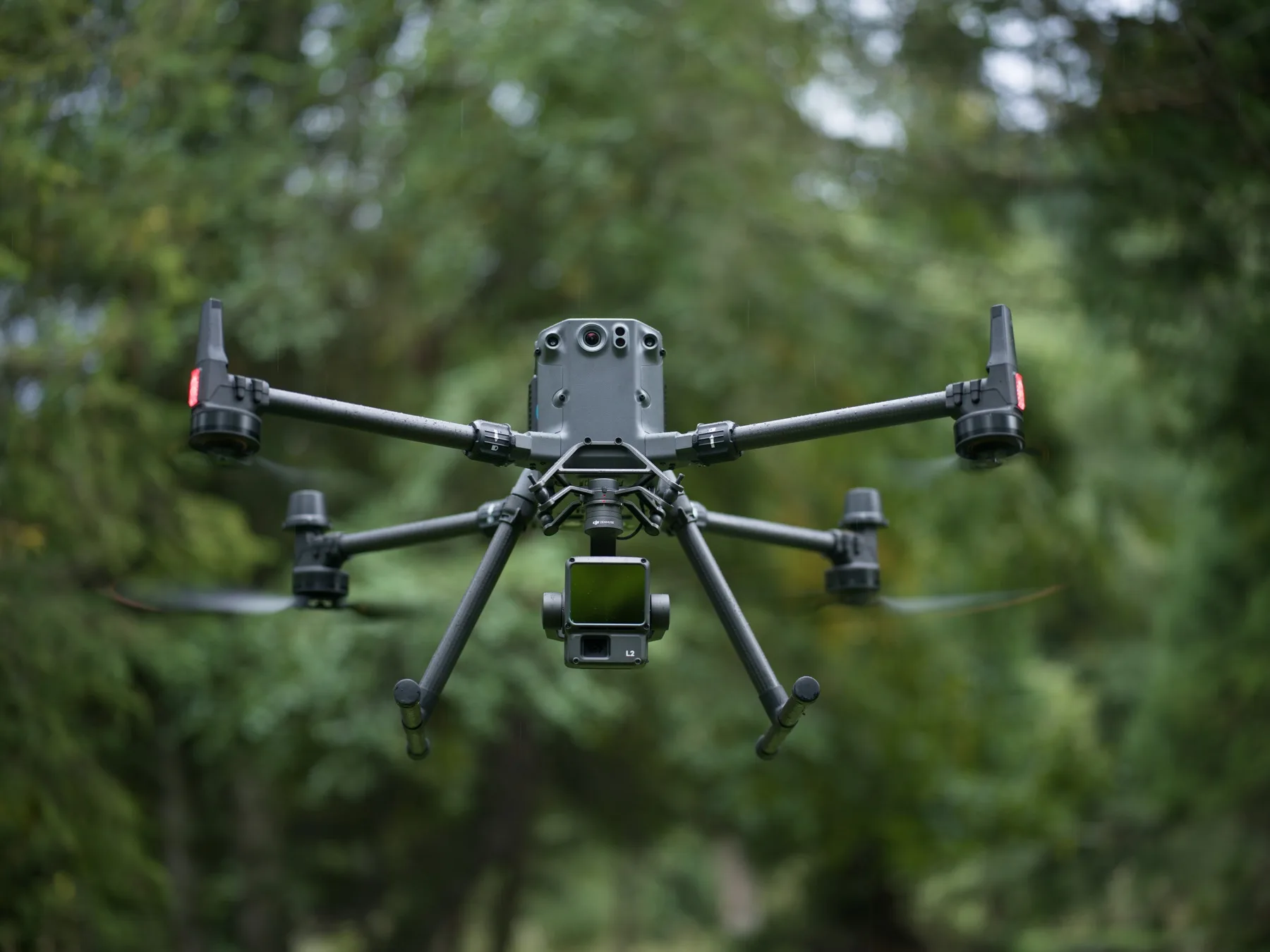
A fleet of DJI aerial platforms supports high-resolution imagery and LiDAR capture for suitable sites. Depending on the assignment, aerial data can document terrain, structures, vegetation, corridors and other features over areas that would be inefficient or difficult to capture by one method alone.
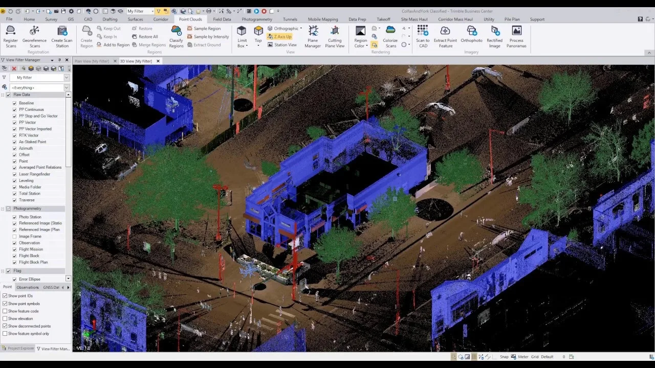
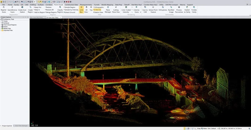
Ground-based scanning and full point-cloud processing allow dense three-dimensional site records to be registered, checked and prepared for engineering, design, utility and existing-condition workflows.
Centimetre-level mapping may be achievable when the control, sensor, geometry, environment and processing workflow support it. We define the required result first, then select and verify the methods appropriate to that deliverable.
Equipment operated in-house
Lanthier & Gilmore owns and operates an enterprise aerial fleet, LiDAR, terrestrial scanning, VRS infrastructure and full point-cloud processing. We can combine methods to suit the site and the required deliverable.
Request a quote
Send the property address or project location, explain what prompted the request and attach any prior survey, deed, drawing or project information that may help us review scope.
Open the request form 905-835-5477