Property + title
Property boundaries and title
Research and field evidence brought together to establish boundaries and prepare professional survey documentation.
- Boundary surveys
- Reference plans
- Surveyor’s real property reports
- Boundary retracement
 Lanthier & GilmoreSurveying Ltd. · Ontario Land Surveyors
Request a quote
Lanthier & GilmoreSurveying Ltd. · Ontario Land Surveyors
Request a quote
Professional land surveying · Ontario
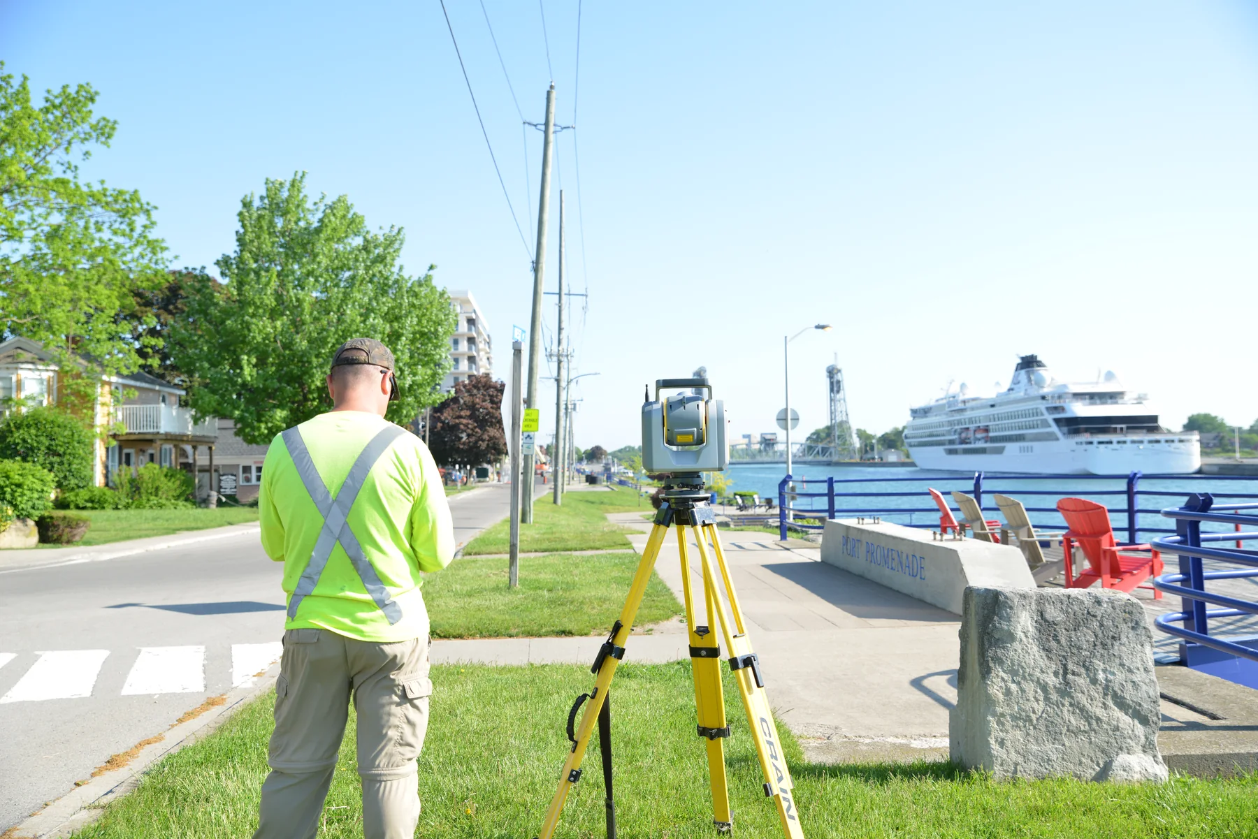
Boundary, topographic, construction and land-development surveying for property owners and project teams in Niagara and across Ontario.
Surveying services
Not every property question requires the same deliverable. We begin by understanding what you are trying to establish, submit, build or resolve.
Property + title
Research and field evidence brought together to establish boundaries and prepare professional survey documentation.
Planning + development
Survey and application support for the approvals, divisions and plans involved in responsible land development.
Design + construction
Accurate existing-condition data and layout support for designers, contractors and project teams.
Not sure which survey you need? Tell us what prompted the call—a fence, sale, permit, severance, design or dispute—and we’ll help identify the appropriate starting point.
Speak with our officeProfessional approach
A survey may inform ownership, financing, construction, municipal approval or a legal decision. We treat the record, the field evidence and the resulting plan with the care those consequences demand.
Survey process
We review the property, intended use and required deliverable before establishing scope.
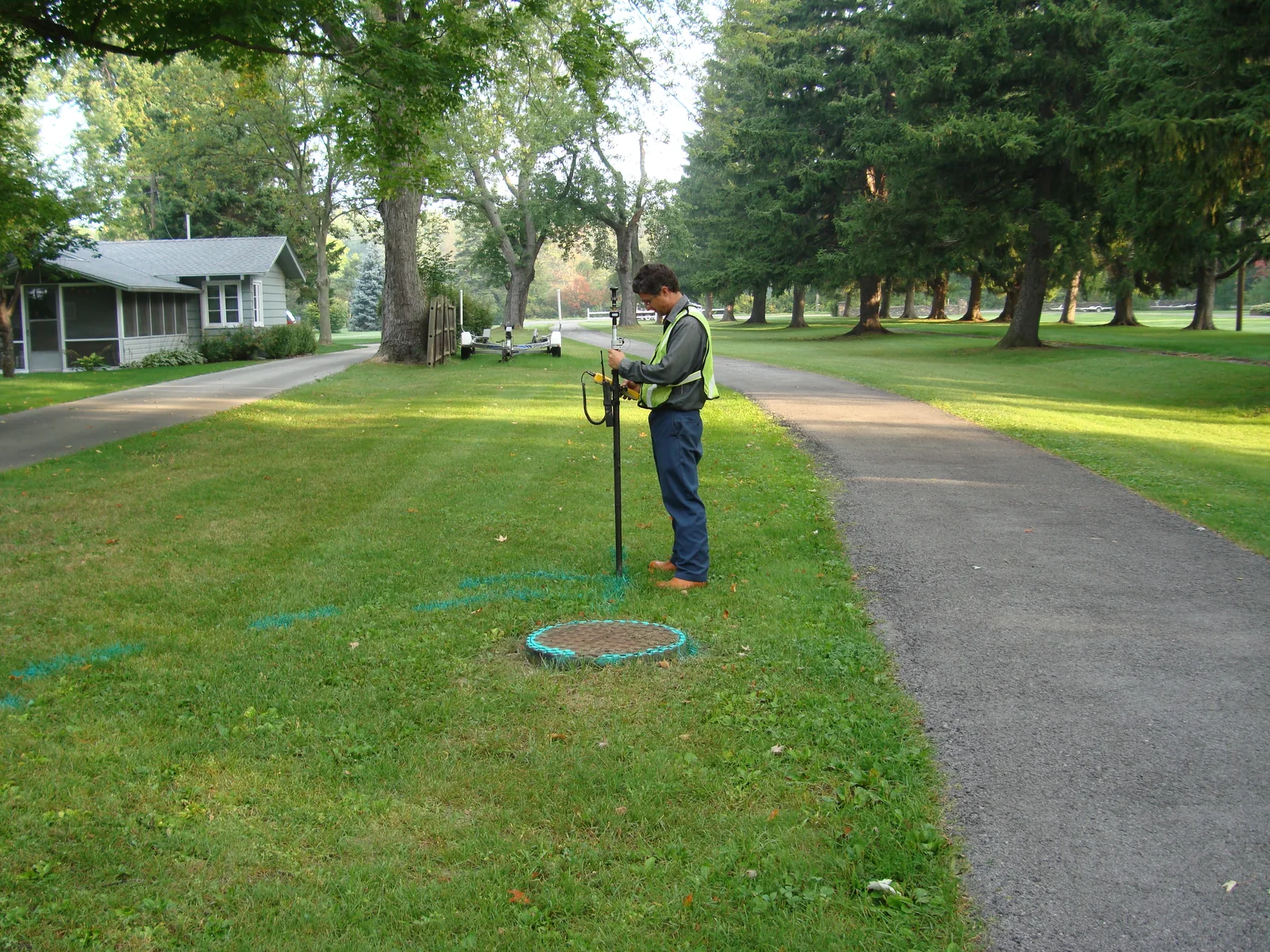
Our team examines available records and gathers the physical evidence relevant to the work.
Measurements and evidence are checked, reconciled and evaluated by surveying professionals.
You receive the plan, report, monumentation or application support appropriate to the engagement.
Firm history
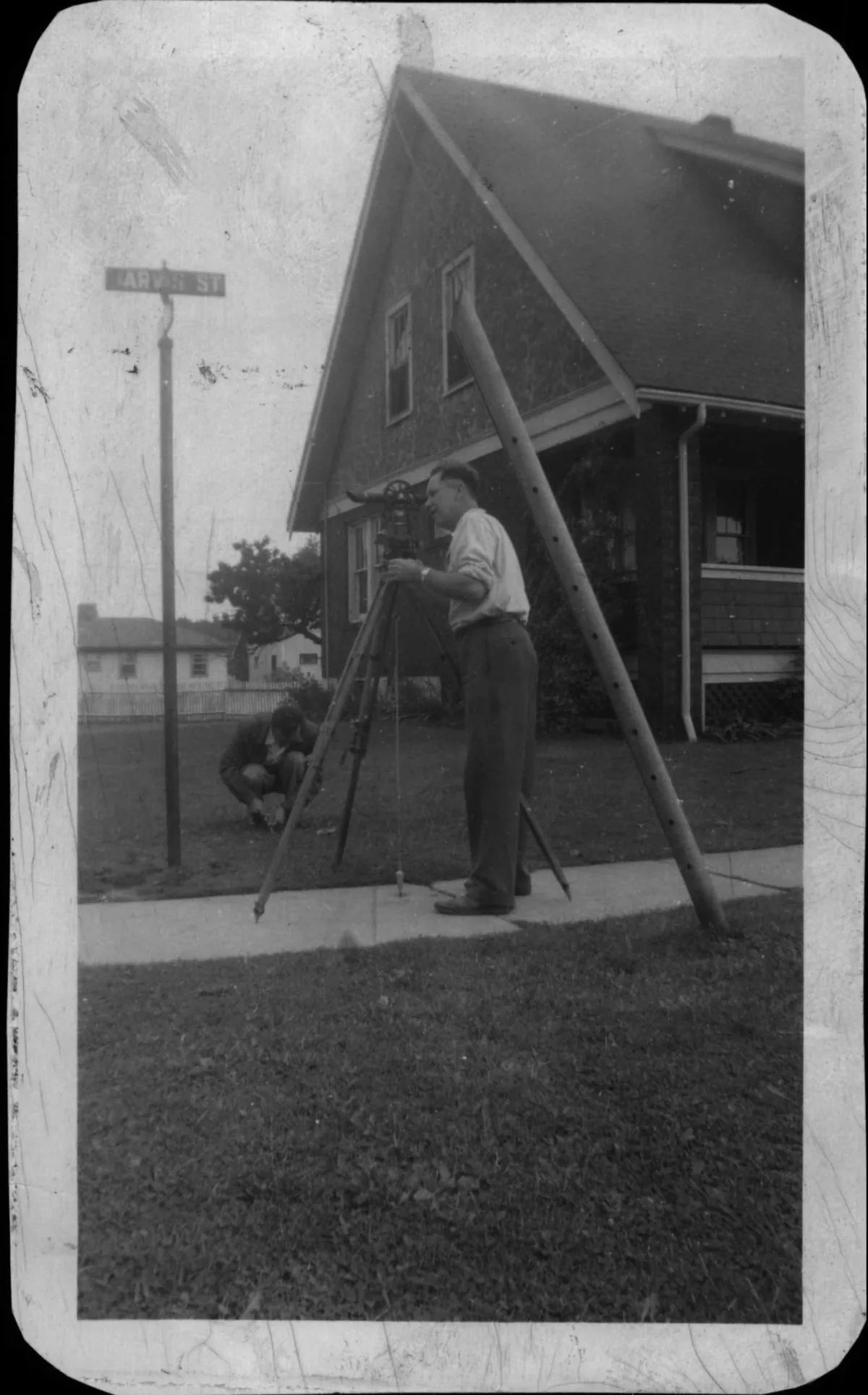
Founded in Fort Erie in the 1940s, Lanthier & Gilmore has built its practice across generations of property change and development. Today, our Port Colborne office continues to serve homeowners, builders, developers and professionals throughout Niagara and across Ontario.
Request a quote
Send us the address and a brief explanation of what you need. If you have a deed, PIN, prior survey, site sketch or municipal correspondence, mention that too.
Monday–Thursday8:00 AM–4:30 PM
Friday8:00 AM–12:00 PM
Weekends + holidaysClosed